Aksara WebGIS
PROJECT
Part of: Aksara Laboratory
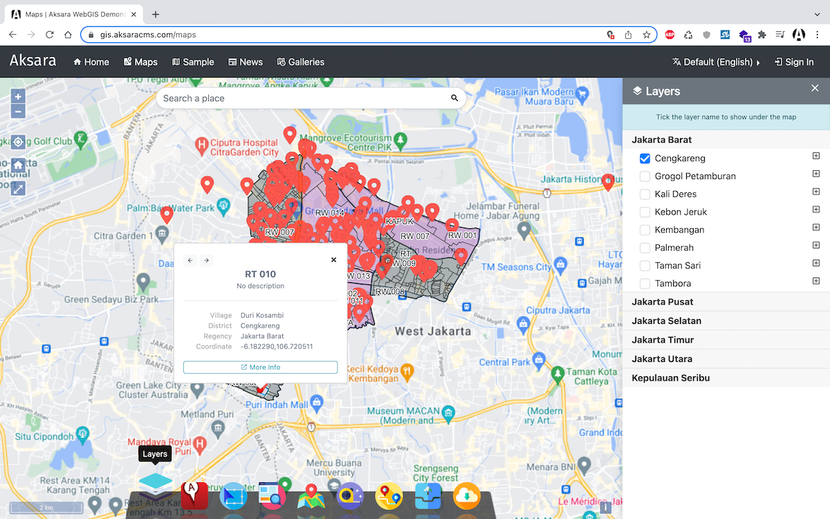
Aksara WebGIS is a toolkit that can be used to create web-based mapping visualizations that are full-featured and easy to operate.

About
Benefits of Aksara WebGIS
Information Media Publication
Useful for potential investors who want to invest in being able to preview the zoning regulations and simulation of the regulations.
Community Reports
The community can monitor and report the use of land in their area.
Document Downloads
Can see the files needed by the community in terms of land designation and zoning regulations.
Spatial Data Visualization
Users can simulate zoning based on regulations that have been set regarding activities that are allowed, allowed conditionally, allowed limited or prohibited.
Data Management
With the tools available in this application, users can view search results based on the information needs of each user.
Easy to Operate
The application is very easily accessible by simply searching for a point and viewing its details.
Multi Platform
Applications can be used from anywhere and with any device.
Responsive Design
The design adjusts the screen size and responsive on any device.
Our team
Aby Dahana
Admin